Tag: maps
14 Ways to use Scribble Maps
 Map skills borrow concepts from many different disciplines, including Math, Art, Language and of course Geography. Map skills should be basic to student education early in their journey and then used often to measure distances, calculate routes, preview field trip locations, explore historic sites, and more.
For many of you, I’m not saying anything you don’t already know — but have you tried to personalize a map? Draw a spotlight exactly where you want students to look, or sketch the route to a field trip? With most maps, it’s difficult, time-consuming, and non-intuitive, but Scribble Maps make all of these chores possible and more by letting you first, select the map best suited to your purpose (for example, a topographic one for a hike — under ESRI-Topography), and second, write directly onto the maps with a freehand drawing tool or by typing, add placemarks, draw shapes, calculate distance and area, and add image overlays. You can even add video and audio files. Maps can be saved as images, PDFs, or native files, and shared via email, blogs, a direct link, or embedded into online locations. It’s intuitive, easily learned by doing for students who hate reading directions, and is compatible with desktops, laptops, Chromebooks, iPads, and Android tablets. Because it uses Google Maps as its foundation, it will instantly feel familiar. Plus, it requires no log-in, so no email address for students.
Share this:
7 Must-have Tools for Ed Conferences
 It’s summer, time for teachers to recharge their cerebral batteries. That could mean reading, going on field trips, spending time with online PLNs, or taking calls from family members who usually end up at voice mail. For many, it means attending conferences like ISTE and NEA to learn how the heck to integrate technology into their lesson plans. If you aren’t a veteran conference attendee, you may wonder what you should bring. That’s a fair questions considering learning is no longer done sitting in auditoriums nodding off to the wisdom of a guest speaker behind a podium. Now, you might be asked to scan a QR code and visit a website, access meeting documents online, interact digitally, or use a backchannel device to share your real-time thoughts with the presenter. Besides a toothbrush and aspirin, what should you take to your upcoming conference? Here are five tools that will make you look and act like the Diva of Digital:
Waze
Some conferences take multiple buildings spread out over several blocks, and depending upon the number of attendees (ISTE last year had about 13,000), your hotel may not be around the corner from the Hall. Install Waze on your smartphone or iPad (here’s my review of Waze).
Conference App
Most educational conferences have one. I find these more useful than the conference website. They are geared for people who are manipulating digital device one-handed, half their attention on the phone and the rest on traffic, meaning: they’re simple and straight-forward. Test drive it so you know where the buttons are, then use it to find meeting rooms, changes in schedules, and updates.
Share this:
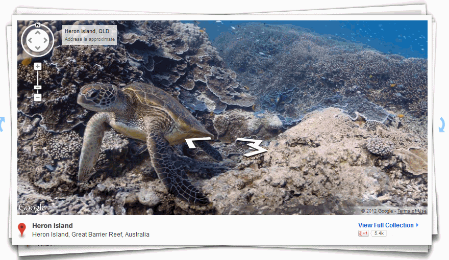
Weekend Website #116: Google Street View Locations
Every Friday, I share a website (or app) that I’ve heard about, checked into, been excited to use. This one covers anything on your mind and uses the quintessentially-popular Google Earth. I know you’re going to enjoy this review.
[caption id="attachment_9802" align="aligncenter" width="614"] Google Street View goes inside locations[/caption]
Age:
3rd-8th
Topic:
Academic
Address:
Review:
Share this:
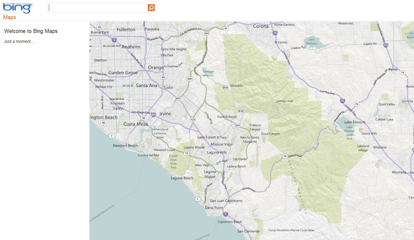
Weekend Website #28: Bing Maps
Drop by every Friday to discover what wonderful website my classes and parents loved this week. I think you’ll find they’ll be a favorite of yours as they are of mine.


